FOWT News, Updates & Posts

13
Sep

Up the Creek

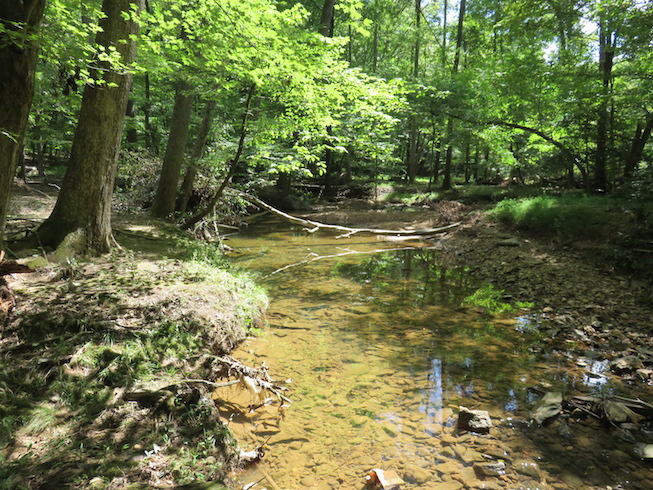
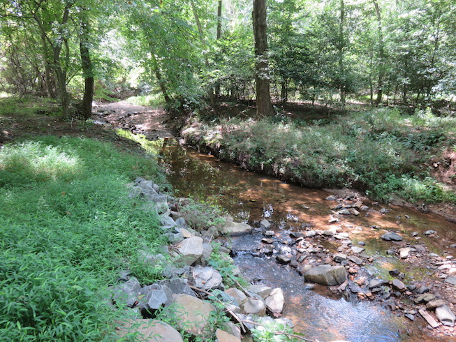
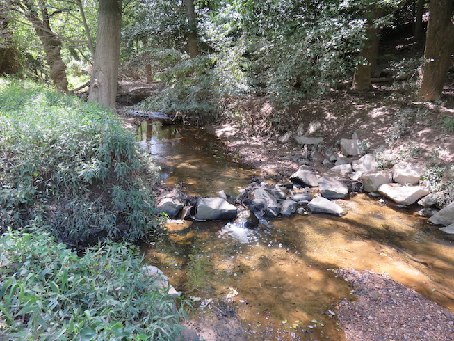
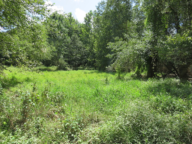
If you look at Google Maps, you will see that the wooded area around Wolf Trap stretches way beyond the boundaries of the National Park. In this blog, I will explore the woods upstream the Old Courthouse Spring (that is the smaller of Wolf Trap creeks).

(some of the trails are open to local residents only)

I will start near the bridge and follow the creek upstream alongside its northern bank.
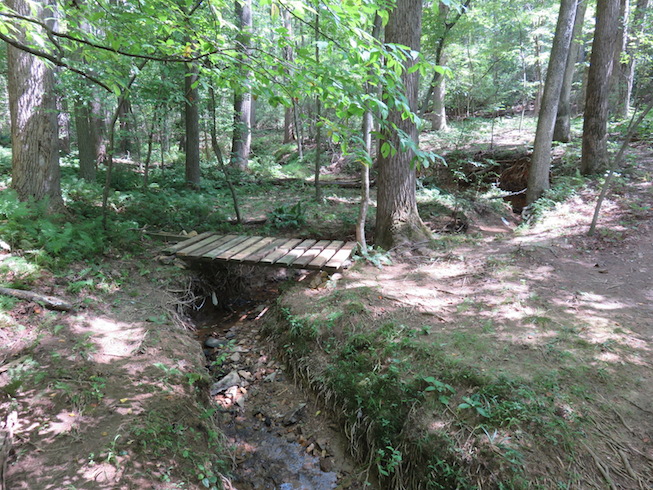
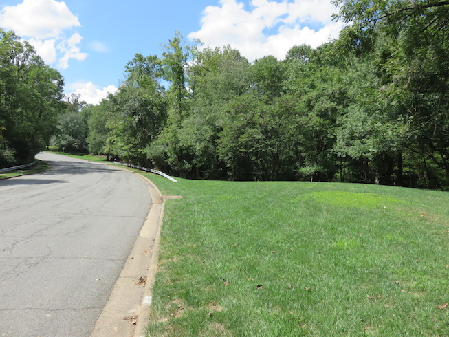
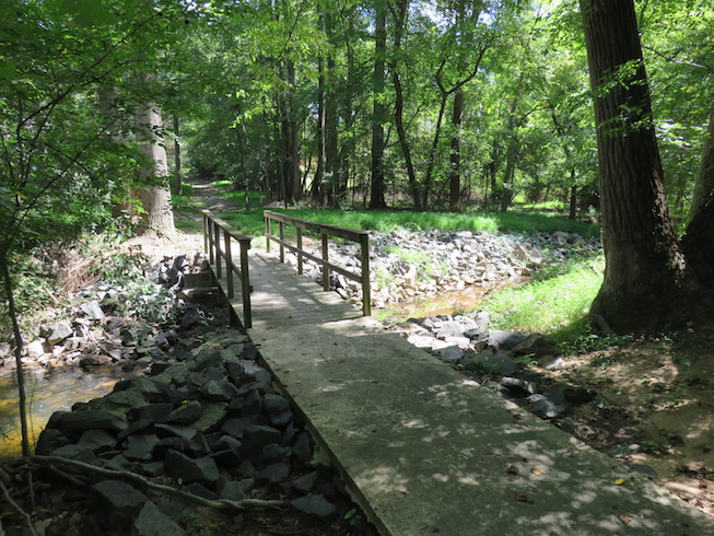
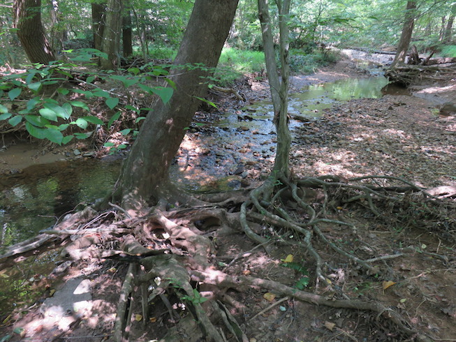
That is the one on which I am standing in this picture.
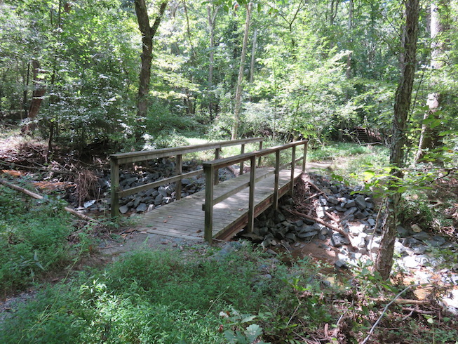
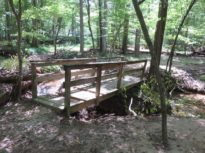
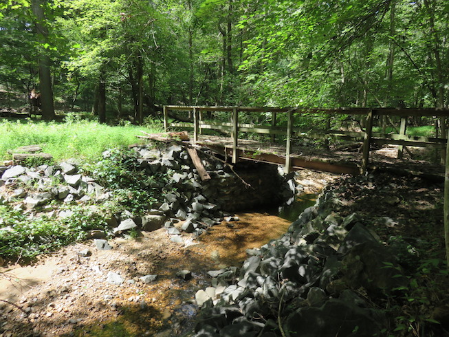
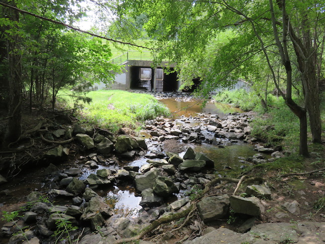
(this is the first bridge upstream from the one torn downed by this year’s flood)
In the direction perpendicular to the creek, there is a trail into the residential area.
Before you enter the residential area, a smaller path branches off.
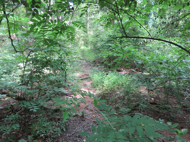
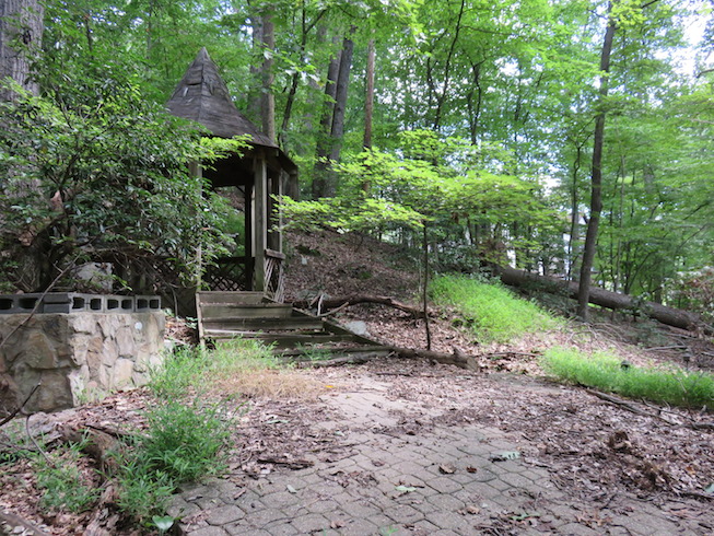
It leads into the Jill’s House backyard, but it is overgrown and nearly impassable.
So I hopped over a dried up tributary and followed the creek upstream.
There is a small trail that roughly follows the creek.
The creek is within easy reach, so you can admire its picturesque nooks.
If you had any doubts that the smaller creek is called the Old Courthouse Spring,
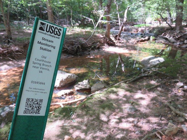
here is your proof – with a link to USGS.
Every now and then the path is dotted with stray rocks….
…or with dilapidated bridges.
This is the place where the creek flows under the Laurel Hill road.
If you make a few steps to the left, you will find a funny clay birdhouse.
The path continues East behind one of the houses…
…and leads to more old bridges.
At this point the path has nearly disappeared,
so you have to hack it through “wilderness” – with all its ticks and snakes…
…but at least the creek is there to provide guidance.
After a few minutes I found an old gazebo.
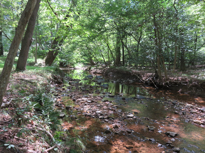
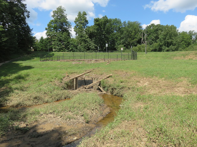
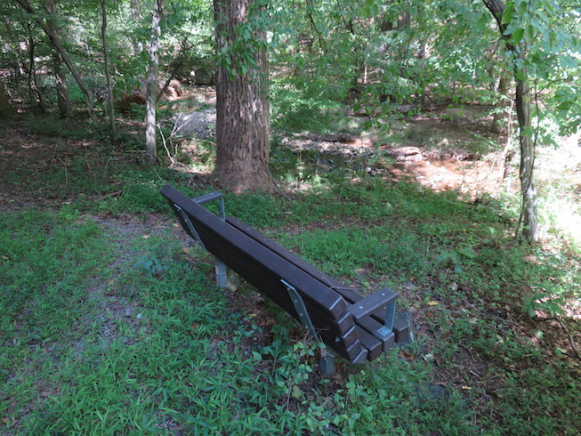
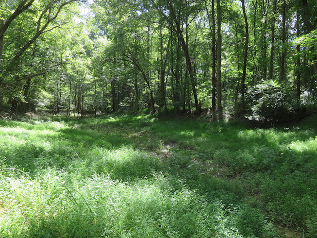
Admired only by deer and an occasional dog walker.
A short stretch through a grove of stately trees…
…leads to a dirt load connecting to Old Ash Grove and route 7.
The creek continues through fairly jungly terrain….
…so I left the north bank and crossed the creek to the south…
…to get to the point where the creek flows under Jarrett Valley Dr.
Since the road is much higher than the creek, a little staircase lifts you up to it.
This is the place where the creek crosses Jarrett Valley Dr.
This is the tunnel entrance from the other side.
The creek continues its journey East and soon reaches I267 (Dulles Access Road)
But there is no path through the jungle, so this is where I turned around.
The trip back alongside the south side of the creek was much more relaxed.
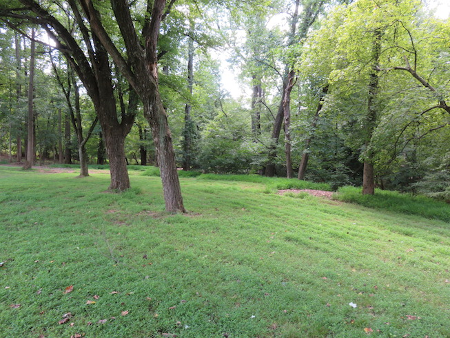
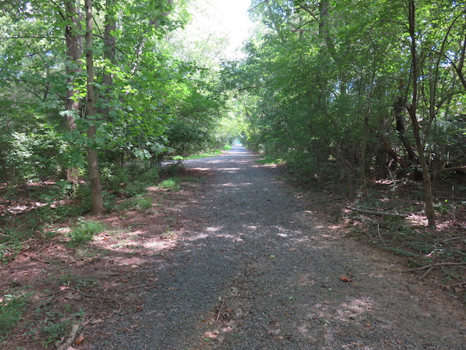
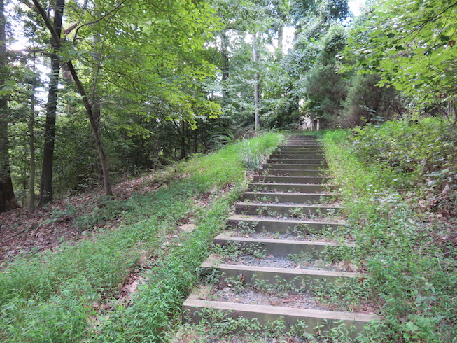
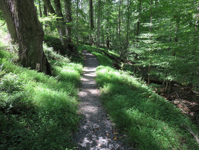
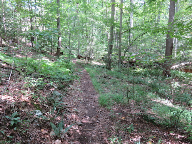
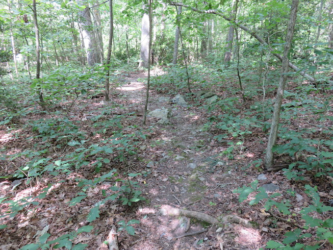
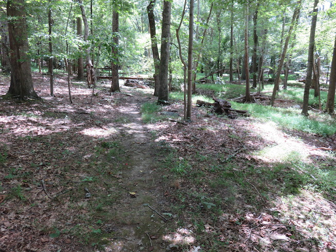
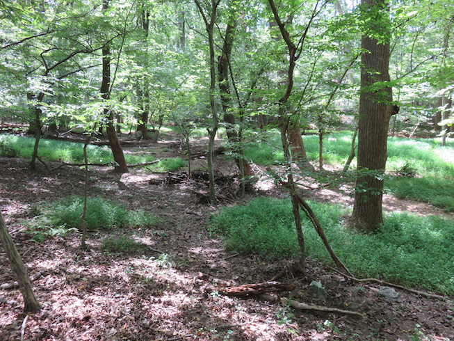
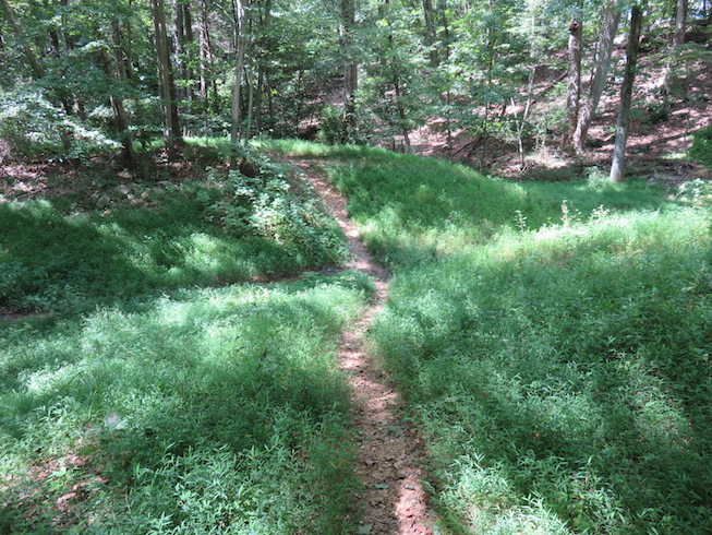
The trail was visible and well kept at all times.
Even dotted with benches, so one could sit down…
…and admire the creek.
Soon I came back to a shallow dip which is visible from Wolf Trap
(just take the trail that follows the little creek after Children’s Theater)
From here a short path led me back to the bridge I started from.
The circle closes.

–honza–

You are donating to : Greennature Foundation

How much would you like to donate?
$10 $20 $30
Would you like to make regular donations? I would like to make donation(s)
How many times would you like this to recur? (including this payment) *
Name *
Last Name *
Email *
Phone
Address
Additional Note
paypalstripe
Loading...